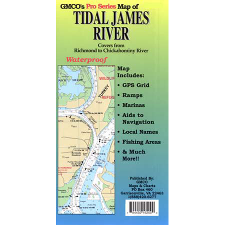
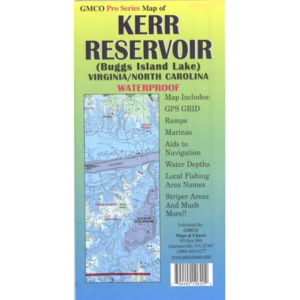
Covers from Richmond to the Chickahominy River Enlarged scale 1:30,000 from Richmond to Jordan Point, 1:40,000 scale from Jordan Point to the Chickahominy River also includes the Appomattox River up to Petersburg. Grid for GPS, ramps, marinas, navigational aids, local area names, and more!
- Category: Pro Series
- Map Type: Waterproof / Fold
- Waterways: Tidal River
- GPS: Yes

