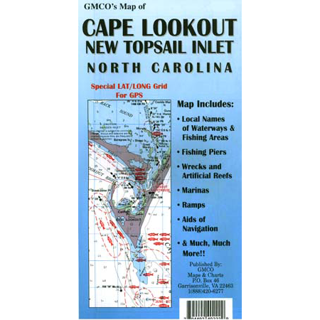
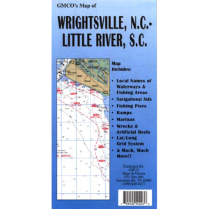
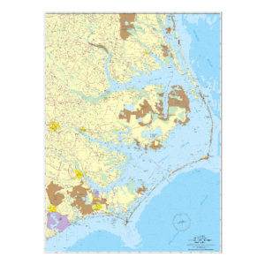
Covers from Core Banks to New Topsail Inlet. Includes; Navigational Aids, wrecks and artificial reefs, fishing piers, 1 minute Lat/Long Grid for GPS. Laminated Comes with its own chart tube.
- Category: Standard Series
- Map Type: Laminated / Rolled
- Waterways: Bay & Coastal
- GPS: Yes
